Granta Parey
Rhêmes-Notre-Dame
-
Difficulties:F - Easy
-
Best period:
July - September
-
Esposizione:West
-
Departure:Thumel (1879 m)
-
Arrival:Granta Parey (3387 m)
-
Difference in level:410 m. + 1100 m.
-
Ascent:5h00
How to get there
Aosta West motorway toll booth, then continue along the SS 26 towards Courmayeur. At Villeneuve, head towards Valle di Rhêmes and carry on up to the end of the road (Thumel).
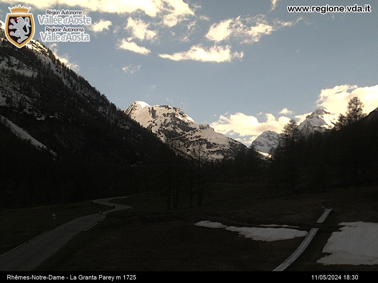
The name synthetically describes its aspect that, from Rhêmes-Notre-Dame, offers a view over the large whitish eastern rock face, typical of limestone rock. The Granta Parey is designated as symbol of the valley, so much so that it can be found on every postcard and publication that illustrates the area. For many enthusiasts, this mountain constitutes the move from difficult excursion to mountaineering. In order to reach the top, you have to take a short but steep rocky, icy slope where the normal route has been traced.
Description of the route
Day one
From Thumel take the pathway that gently slopes up towards the head of the valley. You will join back up again with the unsurfaced road close to a bridge, at the bottom of the ramp and at the foot of which stands the refuge in clear view. Carry on along the road passing close to the Lavassey mountain pasture from where it will only take you a short time to reach the Benevolo Refuge.
Day two
From the Refuge, carry on to the right crossing the Dora di Rhêmes on a stone bridge and you will come to the Soches mountain chalets. From here start climbing along the hillside, heading southwards, until you come to a stony basin, from where a pathway leads off that climbs up along a grassy fan. Amidst pastures and moraines, you will come to a saddle at 3078m, characterised by a stone slab with the writing “San Bernardo”. Then climb up the glacier, trying to keep to the bottom of the western slope of the Granta Parey. Pass by the ridge that heads north-eastwards and this will take you onto the western slope of the mountain; climb back up the stony slope, sometimes covered in snow, and head in the direction of the saddle that divides the northern point from the southern one. A easy rocky passage will allow you to reach the southern point. In order to touch the northern point, you will have to overcome some passages that area easy to climb. Whatever, the view doesn’t change and it is fantastic.
Descent: down the upward itinerary.
This itinerary requires experience of high mountains and it is recommended that you get a mountain guide to accompany you.


