Arp Refuge - Punta Valfredda
Brusson
-
Difficulties:EE - Expert Excursionists
-
Best period:
June - September
-
Departure:Arp Refuge (2425 m)
-
Arrival:Punta Valfredda (2947 m)
-
Difference in level:570 m
-
length:2.669 m
-
Ascent:1h45
-
Trail sign:5 - 5C
-
GPS tracks:
Description of the route
When you get to the Arp refuge, as in the Estoul-Arp refuge itinerary, continue along trail 5C towards Col Valnera. From here, turn left on the same trail, along the path, to reach Punta Valfredda.
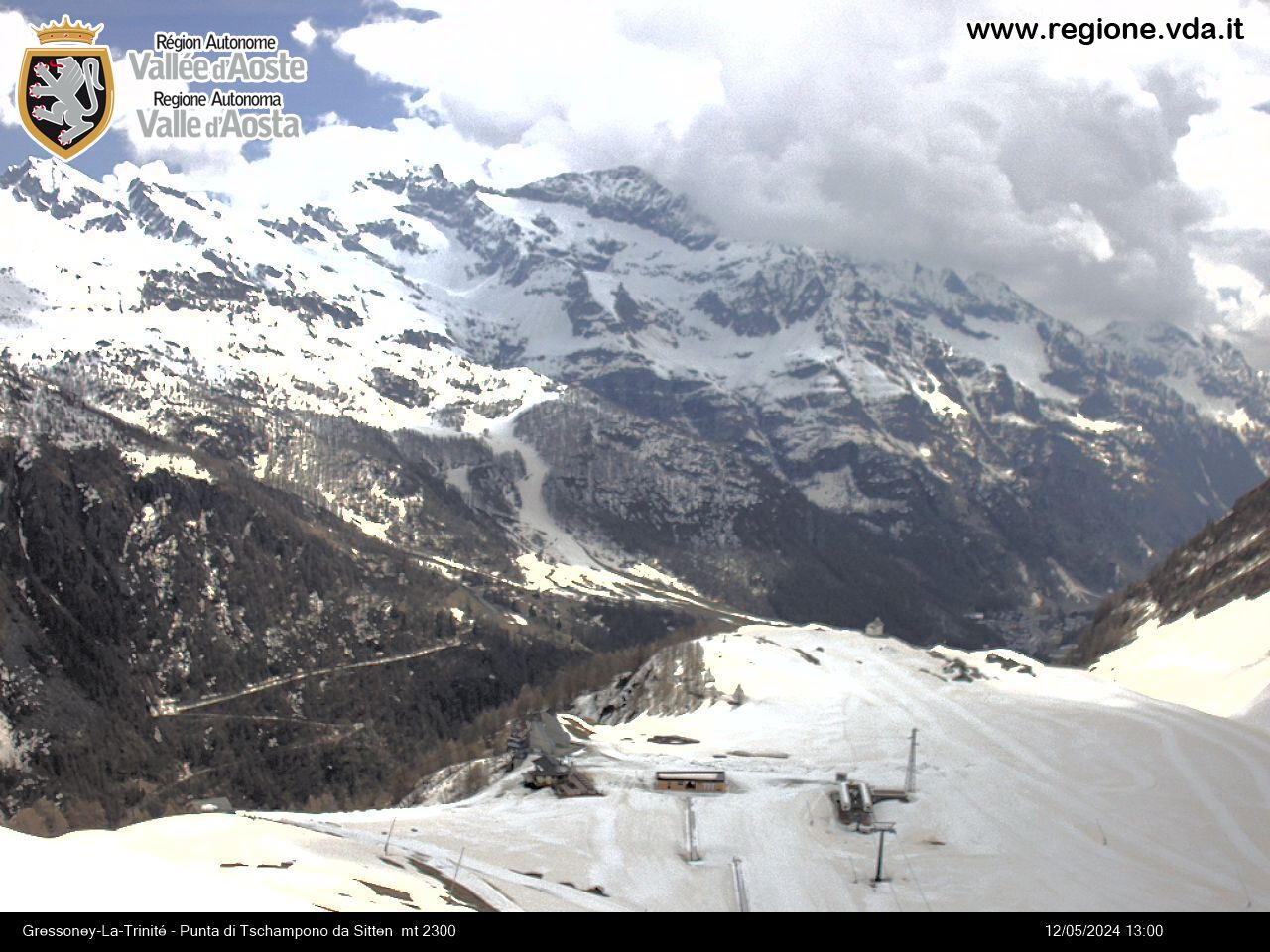
PANORAMA: As you go up to Col Valnera, you can enjoy the view of several of the Palasinaz lakes behind you. At the top, the view opens over Val d’Ayas and the valley of Gressoney.


