Sports

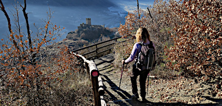
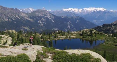
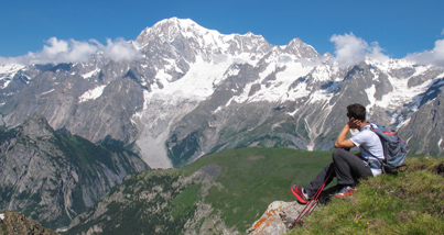
Trekking

Trekking
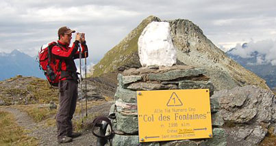
Alte Vie trails
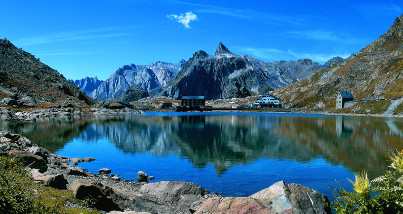
The two Alte Vie trails run through the Aosta Valley around four of the highest mountains of the Alps.
Cammino Balteo
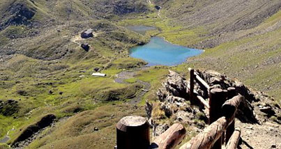
This route takes place mainly at the bottom of the central valley and on the slopes of medium altitude, between 500 and 1900 metres. It is therefore accessible for most of the year.
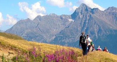
Giants trek
A round-trip trekking itinerary through the Aosta Valley that runs along the two Alte Vie Trails.
International tours
Spectacular loop trails lasting several days across borders, cultures and greats views.
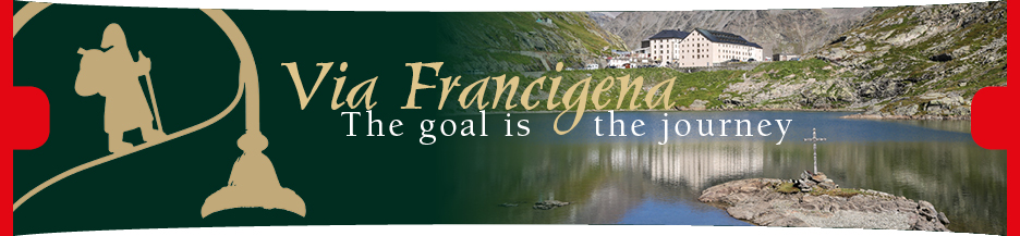
Via Francigena
Historical pilgrimage from Canterbury to Rome that runs through the Aosta Valley from the Great Saint-Bernard pass to Pont-Saint-Martin.
Other treks lasting several days
A number of ideas for tineraries lasting several days for good trained hikers
For any further information on hiking and trail network in the Aosta Valley, please write to trekking@regione.vda.it
Geo-navigation system: 5,072 km of paths
See the trail network on a technical map or orthophotograph, search itineraries by place or create a route by selecting single trail sections. Traces can be exported (.gpx, .kml, etc.)
Aosta Valley mountain huts
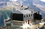
Find your mountain hut: to spend the night when trekking for more than one day and to have lunch after a short hike. The search also includes places for stopping over.
Aosta Valley bivouac-huts
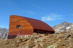
Unlike mountain huts, these are shelters without caretaker, where you can spend the night when out trekking. They are usually open, but in some cases you may need to obtain the key beforehand.
Aosta Valley hiking guides
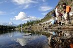
Guides are available to accompany you safely along the trails of the Aosta Valley, passing on to you their love for the mountains and nature.
Holiday proposals