Run in Gressoney-La-Trinité
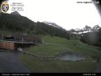
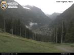
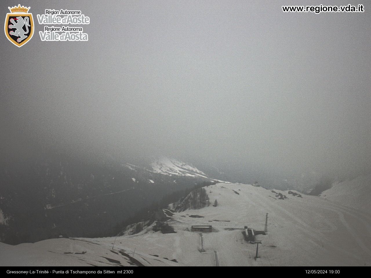
The crosscountry ski trails in Gressoney-La-Trinité, the last municipality in the Lys valley at the foot of Monte Rosa, is ideal for a relaxing cross-country experience. Runs are located near the village close to the parking area, not far from bars, restaurants and shops. The altitude ranges from 1605 m to 1.666 m, guaranteeing good snow conditions for most of the winter.
To access the cross-country track located in Sant’Anna, it is necessary to use the Staffal/Sant’Anna cable car. For return ticket rates, opening hours and any closures due to bad weather, please check the following website: https://visitmonterosa.com/
- Underwoald: medium/difficult – km 3,5 ( artificial snow 2 km)
- Tache easy – km 2
- Sandmatto easy – km 1,5
- Sant’Anna easy-km 2,5 ( located at 2.171 m.)
Free access.
Consult the snow report to find out which cross-country trails are open.
Contact
-
Telephone:+39 0125. 366137
-
E-mail:


