Cyclotour: Aosta – Nus – Saint-Barthélemy – Aosta
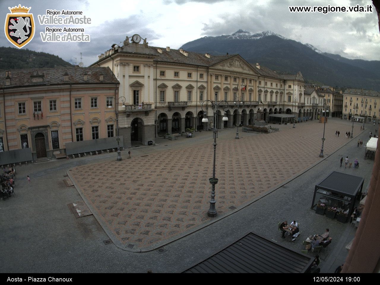
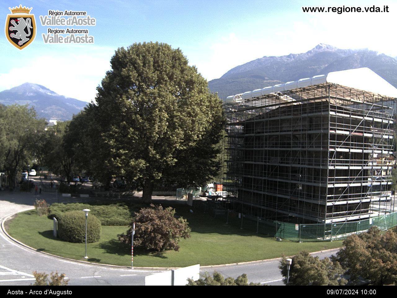
Aosta, which is located in a flat hollow, is the regional capital and a town founded by the Romans in 25 B.C. There are a number of well-preserved monuments from the Roman period. The city also has some important reminders from the Mediaeval period. When you return onto the SS 26 road, you come to Nus a few kilometres further on, which is where they produce one of the finest white wines in the Val d’Aosta. The name Nus derives from the Latin reference “ad nonum (ab Augusta) lapidem”, meaning “at the ninth milestone (from Aosta)”. From Nus, you climb up along the Vallone di Saint-Barthélemy to reach Lignan, which provides a view over the main peaks of the Graian Alps. You can also enjoy a guided tour of the astronomical observatory.
Places you go through on the route:
- Villefranche 6.1 km (540 m)
- Saint-Marcel junction 8.3 km (530 m)
- Nus 10.1 km (545 m)
- Petit Fénis 15.7 km (940 m)
- Blavy 17.2 km (1,065 m)
- Les Fabbriques 22.8 km (1,440 m)
- Lignan 26.8 km (1,665 m)
- Arlod 30.3 km (1,595 m)
- Efraz 32.1 km (1,495 m)
- Villair Sur Nus 38 km (1,130 m)
- Saint-Christophe junction 45.7 km (650 m)
- Aosta 51.2 km (570 m)


