Activity path Valtournenche (Maen)
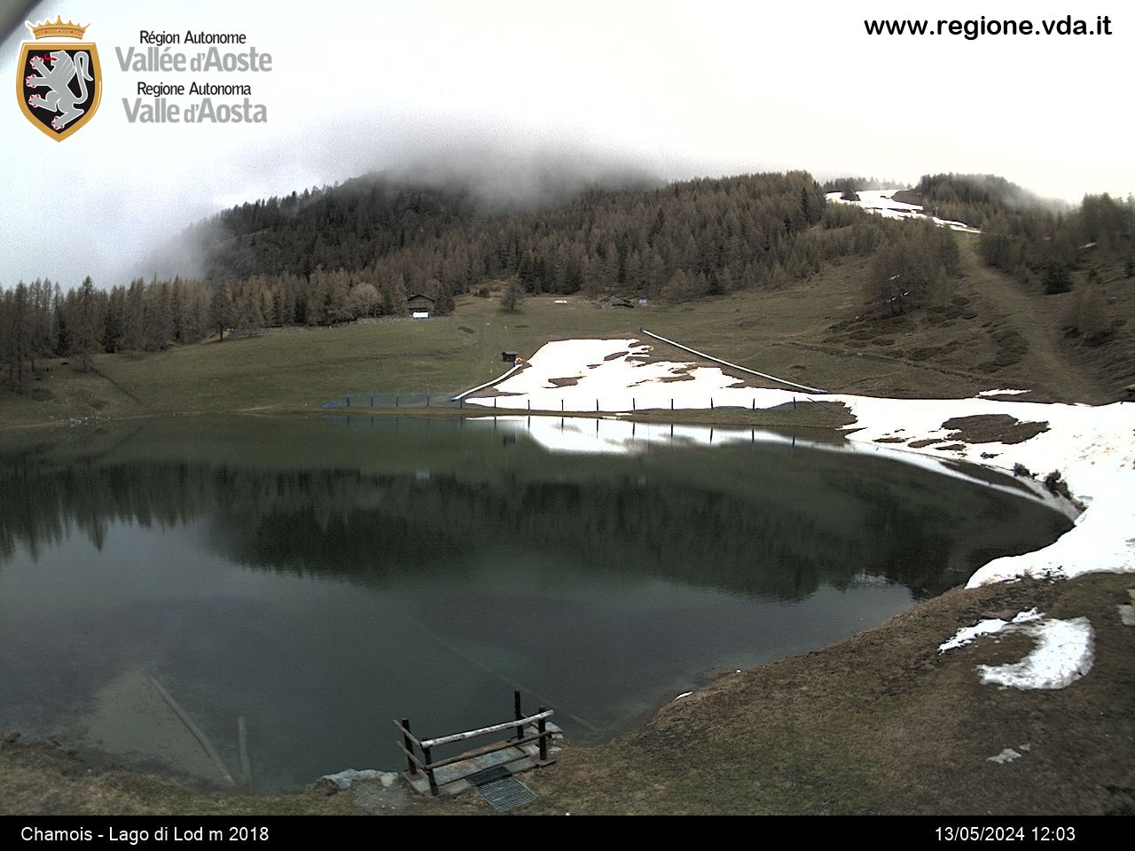
Lake Maen offers a picnic area and a flat route suitable for everyone that follows its banks.
Description of the route
Altitude 1310 m
Distance from Aosta 39 km
Lenghth of route 900 m.
Number of stops 14
Vegetation mixed woodland consisting of mature Fir and Larch. There are occasional Scottish pine and Stone pine. The hardwood consists of Birch, Maple and Ash. Along the stream and marchy areas can be found Alder and Willow. Undergrowth: Fern, Elder, Blueberry, Dog-rose and Raspberry.
Location Maen village
The equipped fitness route, which is divided into 14 stages, can be reached by following the Valtournenche regional road up to the Maen hamlet.
The route is flat and runs almost entirely along the shores of the lake, which is also a fishing reserve. It is also possible to travel along it in a wheelchair while in the nearby playground area there is a toilet accessible to people with motor disabilities.
It is possible to stop at one of the picnic tables located along the lake on the road side.
Contact
-
Telephone:(+39) 0166.946811
-
E-mail:
-
Internet:


