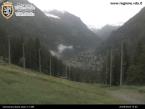
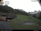
Estoul - Arp Refuge
Brusson
-
Difficulties:T - Tourist
-
Best period:
June - September
-
Departure:Estoul (1884 m)
-
Arrival:Arp Refuge (2446 m)
-
Difference in level:493 m
-
length:6.013 m
-
Ascent:2h10
-
Trail sign:5
-
GPS tracks:
Description of the route
Leave the car in the car park in Estoul, in the municipality of Brusson. Continue along trail 5, along sections of path and sections of private road until you come to the pastures of Palasinaz. Here, follow the trail on the right, along a path across the slopes and you soon come to the Arp refuge.


