Estoul - Col de Palasinaz
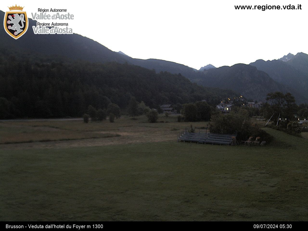
Brusson
-
Difficulties:E - Excursionist
-
Best period:
June - September
-
Departure:Estoul (1884 m)
-
Arrival:Col de Palasinaz (2676 m)
-
Difference in level:681 m
-
length:6.109 m
-
Ascent:2h35
-
Trail sign:5 - 4
-
GPS tracks:
Description of the route
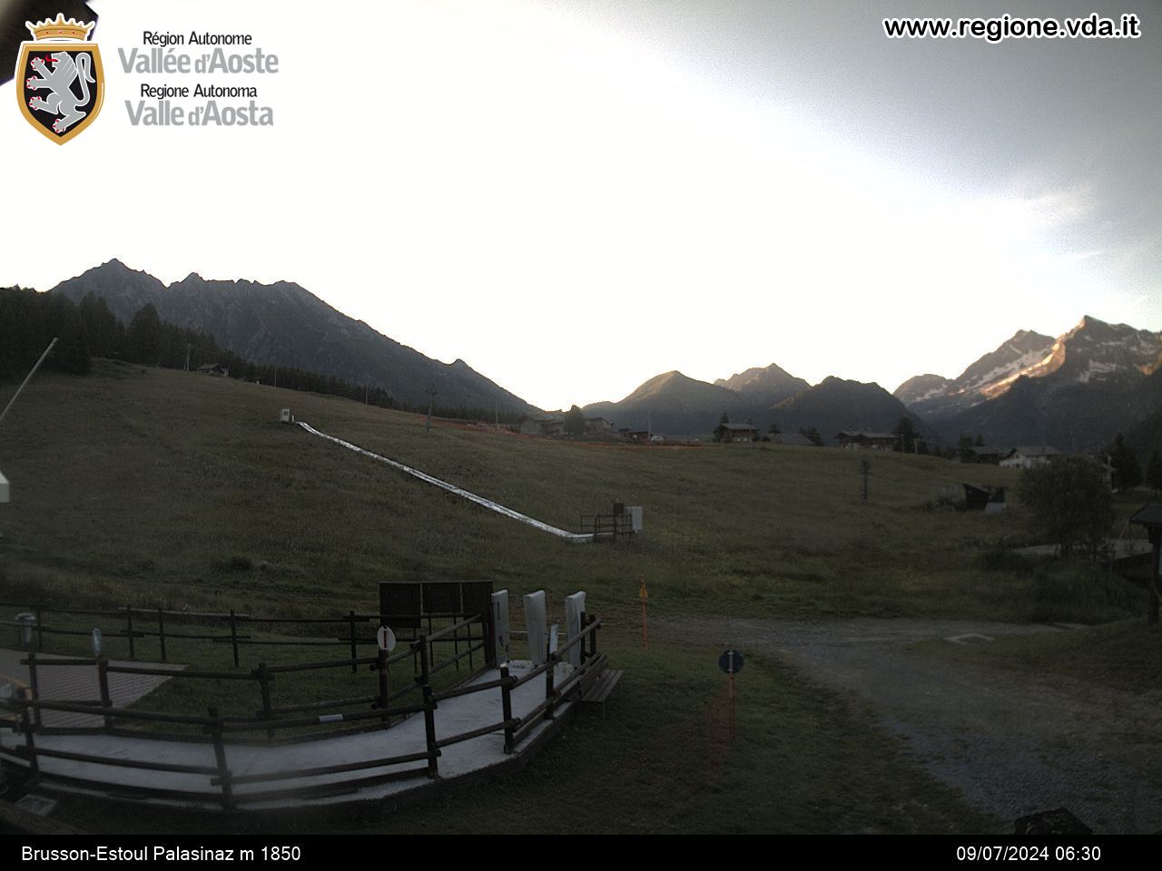
Leave the car in the car park in Estoul, in the municipality of Brusson. Continue along trail 5, along sections of path and sections of private road until you come to the pastures of Palasinaz. From here, turn left on route 4 until you come to the first lakes of Palasinaz. Next continue along the hill until you come to some green lakes and Couloir, and then your destination.
ANIMALS you might meet: roe, marmots, chamois, rock goats, black grouse. eagles
PANORAMA: Palasinaz hill connects the valley of Mascognaz - towards Champoluc - with the valley of the Messouere - towards Brusson - . The landscapes differ significantly on either side: it is gentle and open, with wide pastures on the Brusson side, while it is rough and wild as you look towards Champoluc.


