Corgnolaz - Lod Lake
Chamois
-
Difficulties:E - Excursionist
-
Best period:
May - October
-
Departure:Corgnolaz (1815 m)
-
Arrival:Lago Lod (2011 m)
-
Difference in level:188 m
-
length:826 m
-
Ascent:0h35
-
Duration coming back:0h21
-
Trail sign:107 - 3
-
GPS tracks:
Description of the route
From the arrival of the cable-way you will take the road along the square.
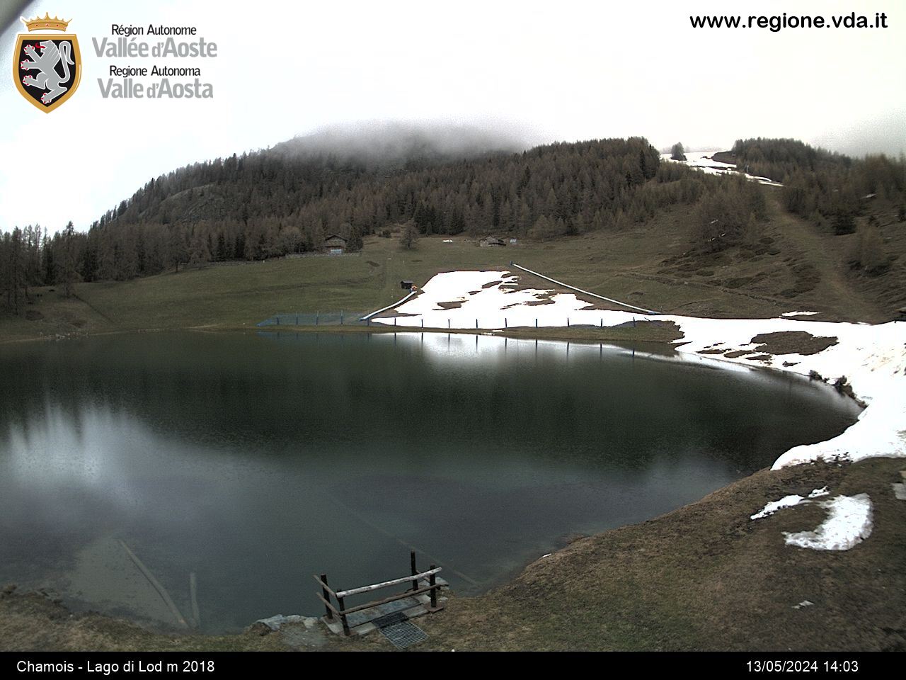
You will follow the cobbled street, in front of the shop, and a little bit further turn on the left two times, first at the end of the village and then following the signs to the Lod lake. When you will reach the sport area you will turn on the right following carriage road. Then you will follow the dirt road or turn on the left and follow the stepped path. At the end you will cross the dirt road and reach the Lod lake where you will find a pic nic area.


