from Crétaz to Chamois
Valtournenche
-
Difficulties:E - Excursionist
-
Best period:
June - September
-
Departure:Crétaz (1526 m)
-
Arrival:Chamois (1812 m)
-
Difference in level:563 m
-
length:4.932 m
-
Ascent:2h10
-
Trail sign:34
-
GPS tracks:
Description of the route
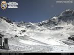
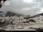
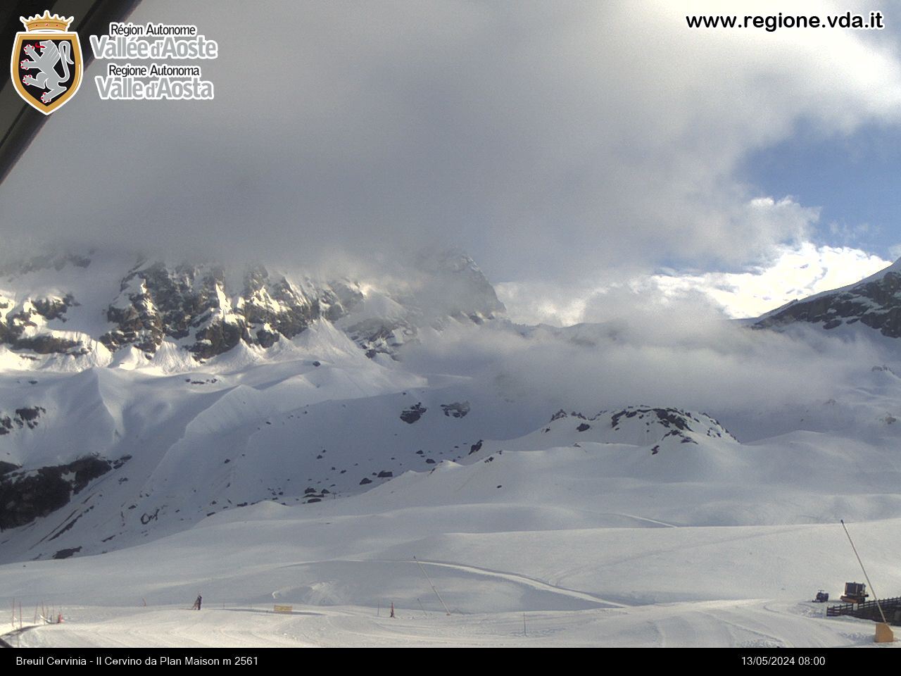
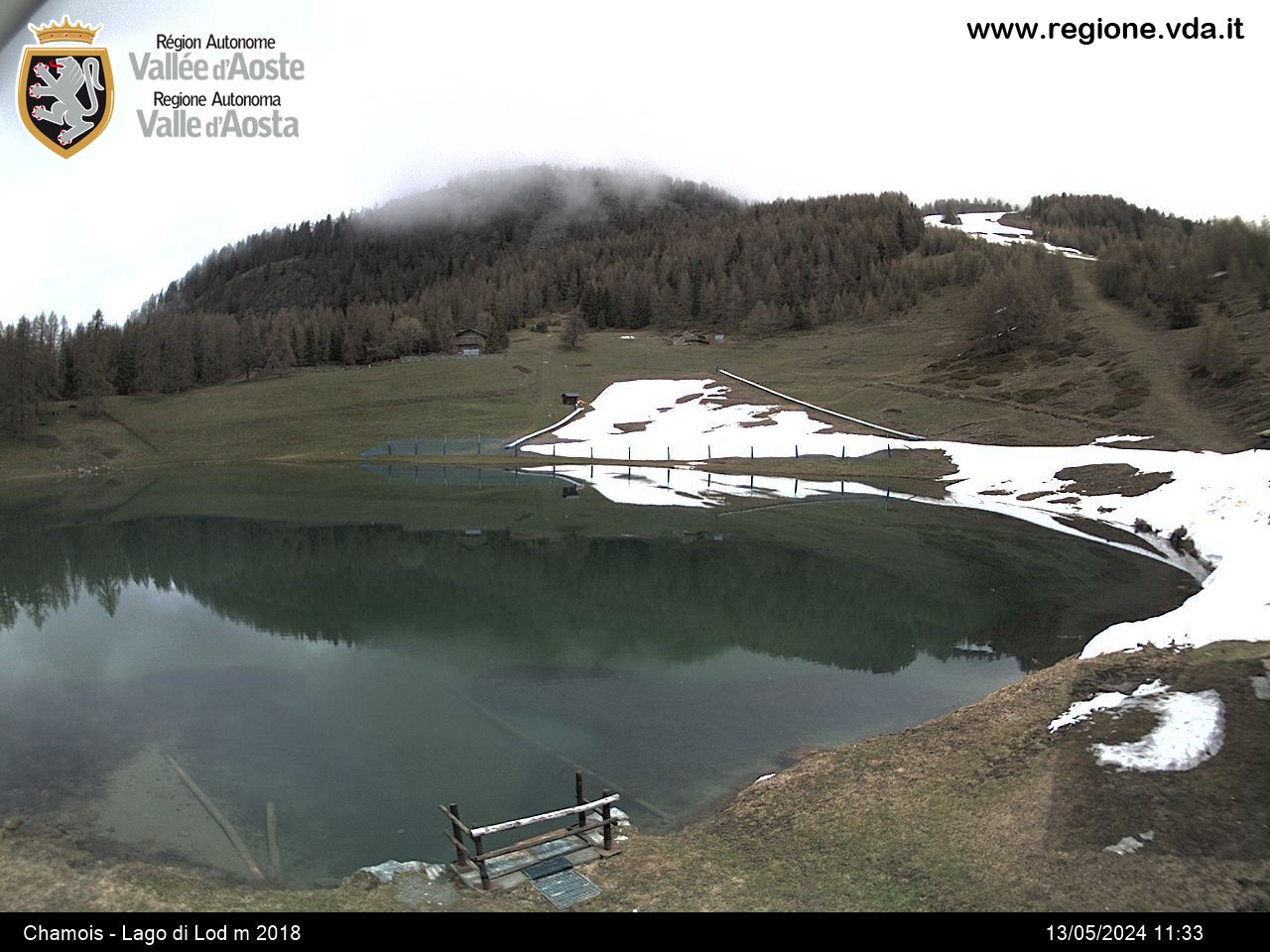
This is a medium difficulty itinerary, in that, despite being fairly easy, the trail is rather long. Leave from Crétaz, one of the more characteristic villages of Valtournenche and take route 34, which heads south on level ground, crossing the villages of Servaz and Pessey (Belvedere). After this villages, the trail winds its way through woods, providing occasional, breathtaking glimpses of Valtournenche and Mount Cervino. When you get close to the residential area of Chamois, descend down to it, or go up, turning left at a “crossroad” until you come to Lac Lod (2033 m).


