Col Pilaz
La Magdeleine
-
Difficulties:E - Excursionist
-
Best period:
January - March
-
Departure:Artaz - La Magdeleine (1715 m)
-
Arrival:Col Pilaz (1975 m)
-
Difference in level:305 mt.
-
Ascent:1h20
-
Duration coming back:1h25
How to get there
Châtillon highway exit. Turn right towards Breuil Cervinia - Valtournenche. Continue towards Aosta and turn right for Valtourmenche. In Antey-Saint-André, turn right towards La Magdeleine. After the La Magdeleine church, continue to the hair-pin curve in Vieux.
Circular route in the La Magdeleine municipal area without excessively steep slopes. Nestled in the beautiful mountain settings of the lower Valtournenche, this exciting route does not require excessive physical effort.
Description of the route
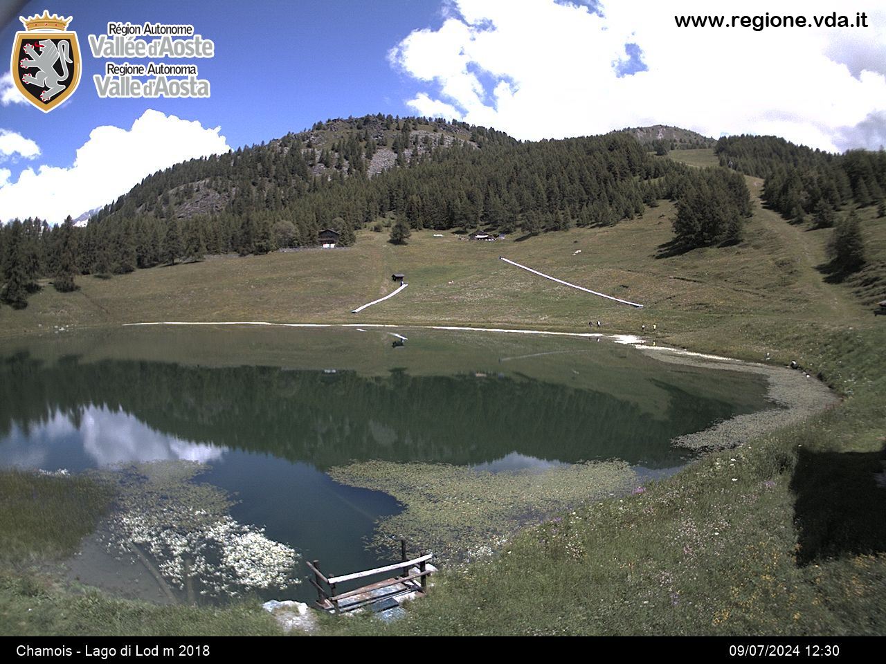
From Vieux, follow the paved road to the fork for Chamois: ignore it and continue along the road. After a wide left-hand bend you’ll find a barrier that indicates the start of the snow show route. Climb the road that leads to Col Pilaz through the fir woods that every so often provides exciting views of Mont Zerbion and Mont Tantané. After the steeper part of the road, the path continues practically straight. You are now on the border of the town of Chamois and, every now and again, you’ll catch a glimpse of the outline of the Matterhorn through the tree branches. After the highest elevation (2005 m), you’ll start to descent to a fork: ignore the road that continues straight and turn right continuing to descend to Col Pilaz (1975 m). Start descending leaving a few typical chalets on your right and continue along the cross-country ski track. After an initial downwards section, the track veers left towards Lake Croux that you’ll reach without seeing it. Leave the lake chalets on your right and finish the descent by taking the farm road: take your first right fork and cross to a mountain pasture where you’ll find a second fork: turn left here. You’ve reached the end. You can already see the ski lifts and La Magdeleine church beneath you. After two more bends you’ll reach the end of the road prohibited to traffic and the end of the snow. From here, head towards the houses in Artaz and the starting point that closes the ring.


