Colle San Carlo - Lac d'Arpy
Morgex
-
Difficulties:T - Tourist
-
Best period:
June - October
-
Departure:Col San Carlo (1858 m)
-
Arrival:Lac d’Arpy (2071 m)
-
Difference in level:228 m
-
length:3.138 m
-
Ascent:1h10
-
Trail sign:15
-
GPS tracks:
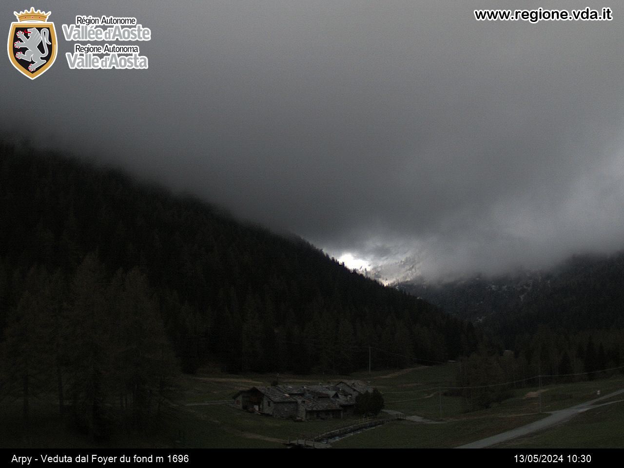
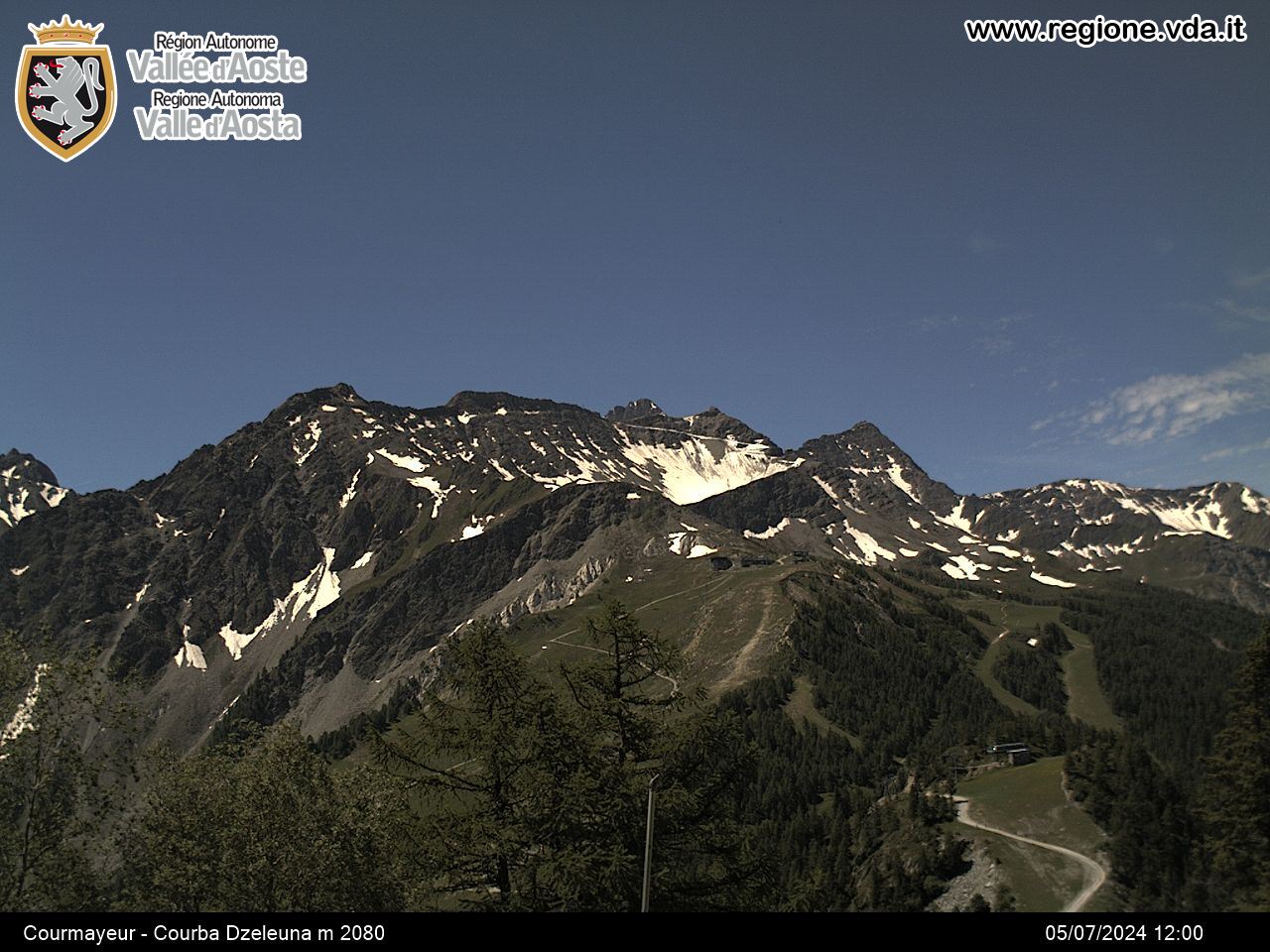
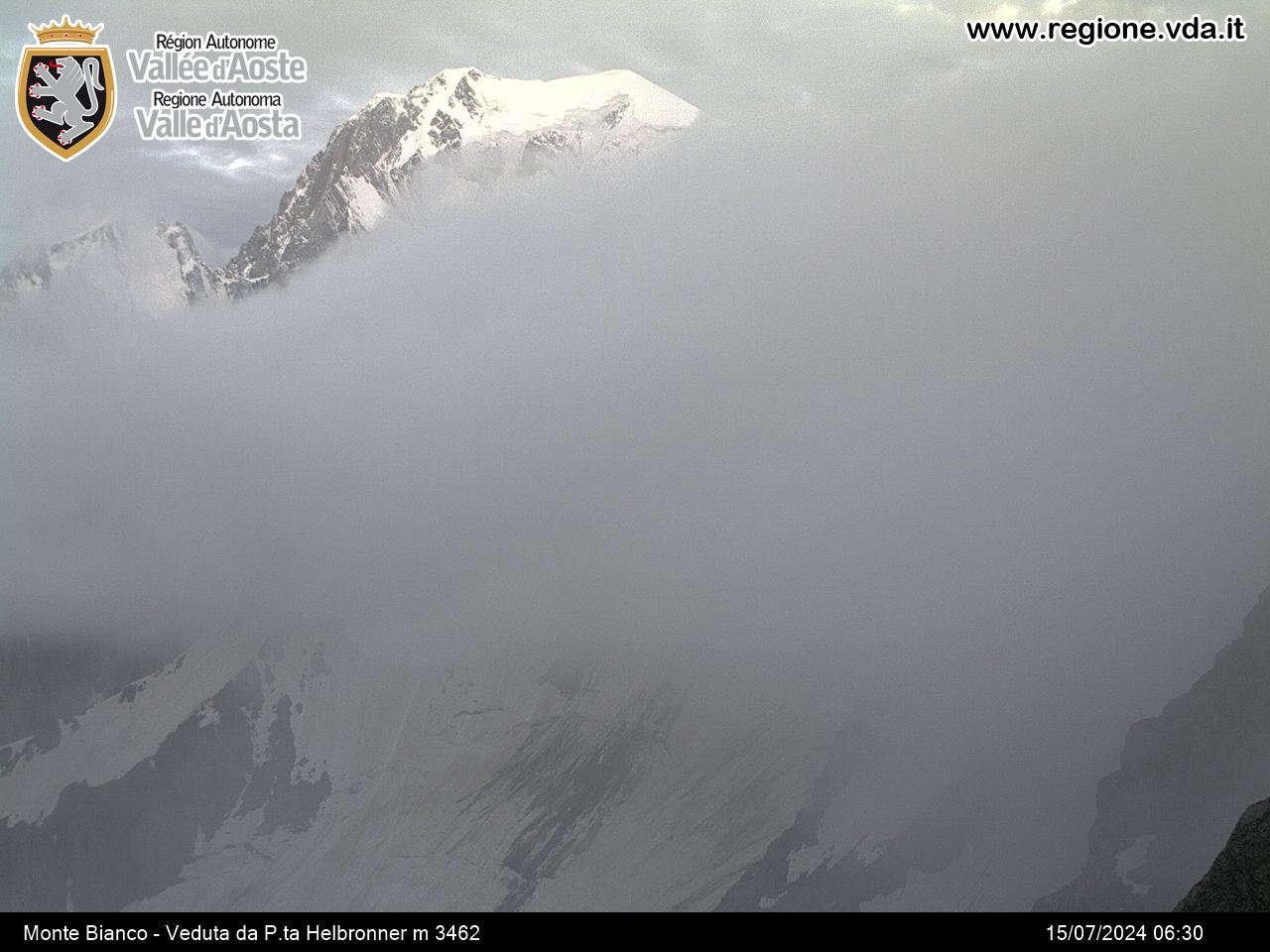
An easily accessible alpine lake with a view of the Mont Blanc massif.
Description of the route
When you reach Col San Carlo you take the un-made road marked no. 15 opposite the Genzianella Hotel which goes uphill and widens as it goes through a wood with fir and larch trees and takes you on to Lac d’Arpy.
From the back of the Genzianella Hotel you can also take a short walk suitable for everyone which takes you to the observation point near Tête d’Arpy with marvellous views over the Mont Blanc range and Valdigne. Since it is only a short walk taking about 25 minutes each way, this route can be done together with the walk to Lac d’Arpy.


