Activity path Torgnon
Description of the route
Altitude 1765 m o.s.l.
Distance from Aosta 40 km
Owner public
*Lenghth of route*600 m.
Number of stops 11
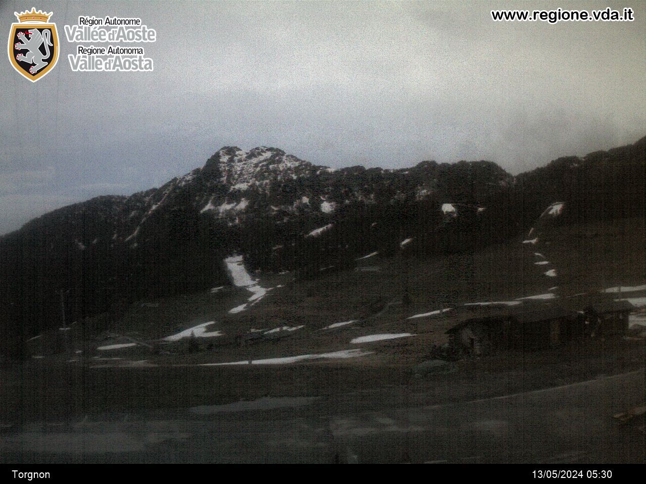
*Vegetation*woodland consisting of mature Spruce and Larch. Undergrowth: Fern, Elder, Blueberry, Dog-rose and Raspberry.
Location in the village of Chantorné, on the municipal road leading up from Torgnon towards the village of Chatelard.
Contact
Ufficio turistico Comunale
P.ce Frutaz
11020 TORGNON (AO)
-
Telephone:(+39) 0166.540433
-
Fax:(+39) 0166.540991
-
E-mail:
-
Internet:


