"Plan Belle Crête" Picnic area - La Salle
La Salle
- Вся Валле д’Аоста: 1700
- Km da Aosta: 34.00
- Tavoli con panche: 14
- di cui per disabili: 2
- Карта: 7
- Fontanili: 1
- Servizi igienici: 3
- di cui per disabili: 1
- Контакты : 84
- Tot. superficie (m²): 3600
Free
VEGETATION
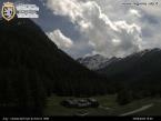
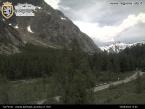
The area is mostly situated in an old Larch pasture, with Red Spruce around the edges, where the animals hadn’t grazed.
HOW TO GET THERE
After passing La Salle town, continue onwards in the direction of Planaval until you pass the Morge Dessus district.
AREA PANORAMA
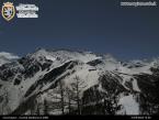
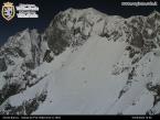
In front of the area you can clearly see the ““Vallon”“ and the Promuod with Mount Paramont in the background; to the West you can admire the Mont Blanc mountain chain; to the East you can look across the central valley to the side valleys of Valgrisenche, Valsavarenche and Valle di Rhêmes.
EXCURSIONS
• From the area it is possible to reach the village called Grassey, the cottages in Licony, the lake of the same name and the new Pascal bivouac on Licony head.
Near the picnic area: take-off area paragliding and landing area light aircraft (piper)
Please leav leavee the area clean.
Населенный пункт
-
Telefono:(+39) 0165.842060
-
E-mail:


