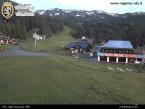
"Tzanté de Bouva" picnic area - Fénis
Fénis
- Вся Валле д’Аоста: 525
- Km da Aosta: 14.00
- Tavoli con panche: 7
- Карта: 6
- Fontanili: 1
- Servizi igienici: 11
- di cui per disabili: 1
- Контакты : 72
- Tot. superficie (m²): 17800
The area is free.
Wood is not provided.
2 tables and 24 benches. No cooking rings.
VEGETATION
Sparse woodland with oak, cherry, birch and ash.
HOW TO GET THERE
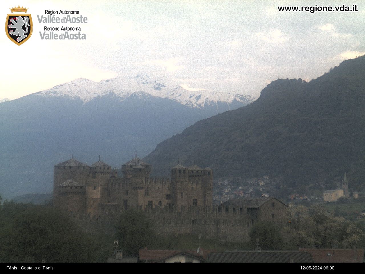
You can arrive by turning left near the start of Fénis town, before the castle of the same name.
AREA PANORAMA
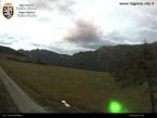
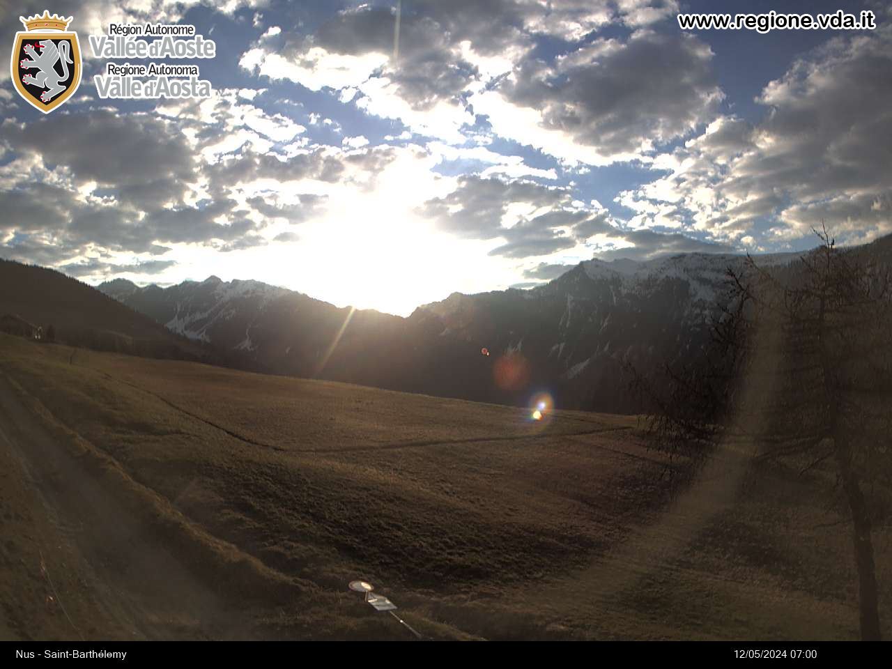
From the area you can see a succession of mountains by looking at a 360 degree angle from the North-East to the South-West: Mount Zerbion, Corno Bussola, Mount Néry, Mount Croquet, Mount Emilius, the Paramont chain, Becca d’Aveille, Becca Congé, the Longhède summit and Becca d’Aver.
EXCURSIONS
• By departing from the green area Tzanté de Bouva district you can take the itinerary that leads to Saint Julien’s Sanctuary and Mount Corquet.
• Worth noting, even if it’s a long trip, the ascent along the entire Clavalité Valley.


