From Crétaz to Cheneil
Вальтурнанш
-
Уровень трудности:E - Randonnée
-
Лучший период:
Июнь - Сентябрь
-
Пункт отправления:Pâquier (1528 m)
-
Пункт пребытия::Cheneil (2116 m)
-
Расписания:603 m
-
длина:2.806 m
-
Durata Andata:1h50
-
Segnavia:33 - AV1
-
Tracciati GPS:
Типичные блюда
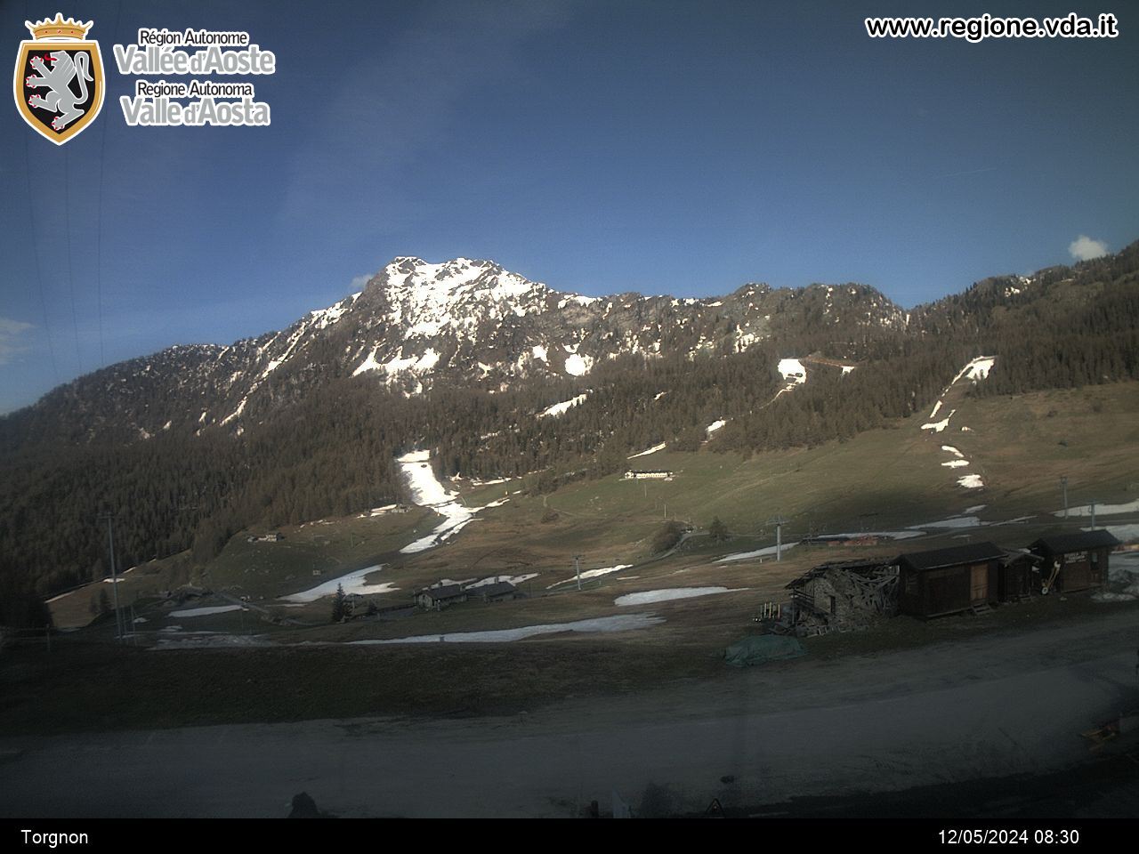
This route begins as you leave the village of Crétaz, a short way from Pâquier (main centre of the municipality of Valtournenche), and is part of the whole route of the Alta Via no. 1
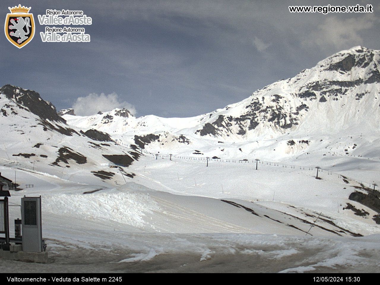
The mule track climbs through a dense wood of larch trees and broad-leaved trees until it meets the road from the left which connects Muranche with Falinère. You go across it and climb up to the Promindoz pasture (m 1850), located on a grassy panoramic plateau. Continuing uphill through the larch wood you come to the Cheneil hollow.
In the past this was the only way to get to this highly beautiful hollow; now a carriageable road has been built which almost reaches Cheneil.


