Ru de Charbonnière
Avise
-
Уровень трудности:E - Randonnée
-
Лучший период:
Май - Октябрь
-
Пункт отправления:Charbonnière (1271 m)
-
Пункт пребытия::Vedun (1519 m)
-
Расписания:297 m
-
длина:3389 m
-
Durata Andata:1h10
-
Segnavia:Ru Charbonnière - Cammino Balteo
-
Tracciati GPS:
A panoramic and historical walk on Avise hills ideal in the middle seasons, in autumn especially during the “feuillage” period.
Типичные блюда
Coming from Saint-Nicolas, leave your car in the small parking on the right just before the Charbonnière’ s village.
Continue on the paved road that passes behind the houses and then, unpaved, goes up to the water basin (follow the indications of the “ru”). From here begins the path that runs along the “ru”, the irrigation channel that from Vedun’s area carries the water of the Vertosan creek to the cultivated fields of Avise’s hill.
After a first climbs, the path continues fairly flat, or with short slopes, and shortly after crosses the path of the “Cammineo Balteo” and follows it up to Vedun. The last stretch is taken on the municipal road that reaches the characteristic village.
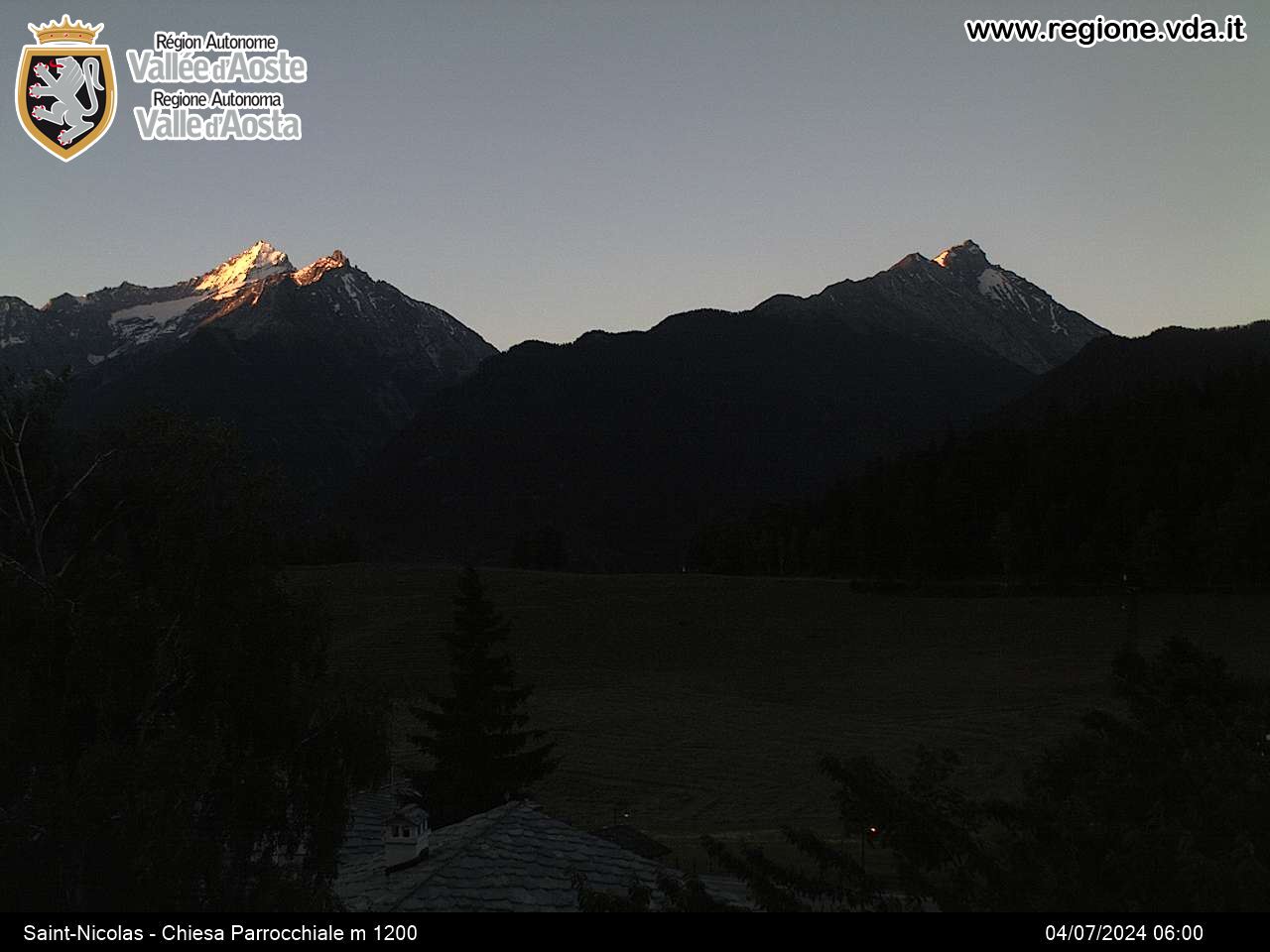
The whole route is characterized by a magnificent panorama of the mountains of the central valley: Monte Emilius, Becca di Nona and Grivola.


