Champlong - Col des Bornes
Веррейе
-
Уровень трудности:E - Randonnée
-
Лучший период:
Май - Октябрь
-
Пункт отправления:Champlong (1629 m)
-
Пункт пребытия::Col des Bornes (1782 m)
-
Расписания:153 m
-
длина:2310 m
-
Durata Andata:0h45
-
Durata Ritorno:0h34
-
Segnavia:1
-
Tracciati GPS:
Accesso
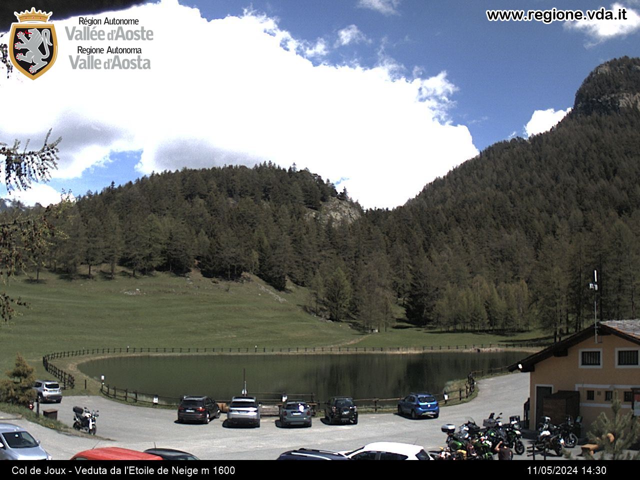
From Verrayes, you follow the road which climbs up to the Col Saint-Pantaléon. Once you have gone through Del and Semon, you continue on towards Cheresoulaz. At a junction you follow the road on the left which flanks the reserve of Loson and rises up to a small hill. At the crossroad, you take the rights-hand fork that leads to the picnic area of Champlong, where you park the car.
Easy walk located in a beautiful area of the middle valley.
Типичные блюда
You take then the dirt road (it is the continuation of that one beginning from the village just below, which is called Clavon), which bends to the right and goes past the Ronc mountain pasture and climbs gradually to the Col de Bornes, on the border with the municipality of Torgnon.


