Mont-de-la-Saxe
Курмайор
-
Лучший период:
Июнь - Сентябрь
-
Пункт отправления:COURMAYEUR: Planpincieux (1593 m)
-
Пункт пребытия::Mont-de-la-Saxe (2348 m)
-
Расписания:755 m
-
Durata Andata:3h00
-
Segnavia:31, AV1 e poi 42
-
Tracciati GPS:
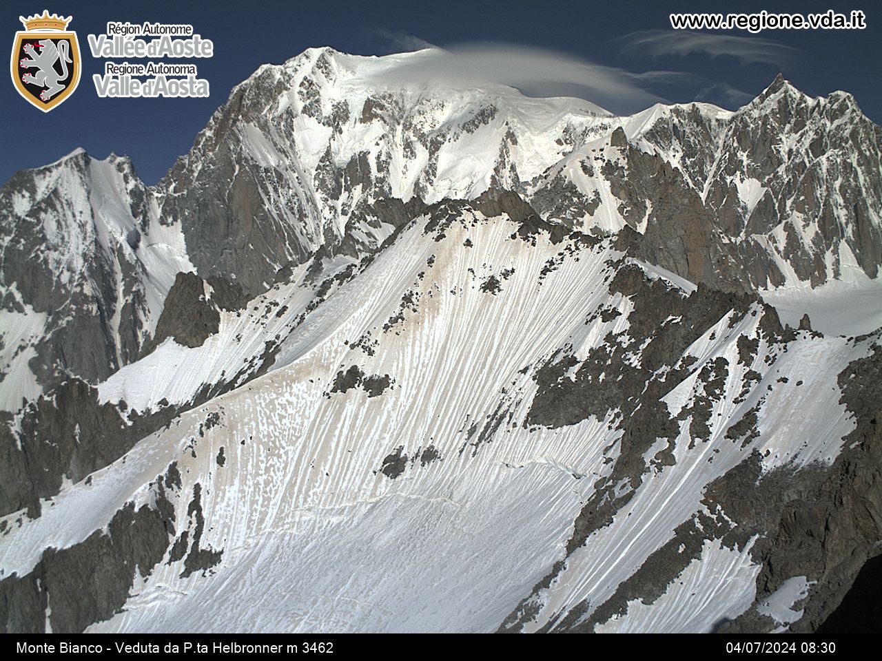
The trail leads to a spectacular balcony over Mont Blanc, exactly opposite the Dent du Géant and Grandes Jorasses. From this special observation point, the gaze embraces the entire Italian side of the mountain.
Типичные блюда
Leave the car in Planpincieux, in the municipality of Courmayeur, then continue along the paved road walking alongside the Grandes Jorasses campsite. When you reach a chapel,cross the Dora of the Val Ferret and keep on the dirt track, which leads to Leuchey Désot. From here, continue along route 31 and you come to the pasture of Leuchey Damon. At a crossroad, take the AV1 route on the left, and go up to the alpine meadows before reaching the vast grassy ridge of Mont-de-la-Saxe. Now take route 42 on the left, which runs along the wide ridge, and leave route AV1, which soon leads to the Bertone refuge.


