The pure valley of Saint-Barthélemy
Nus
-
Уровень трудности:F - Facile
-
Лучший период:
Июнь - Октябрь
-
Пункт отправления:Porliod (1900 m)
-
Пункт пребытия::Porliod (1900 m)
-
Расписания:150 m
-
длина:34 Km
-
Tracciati GPS:
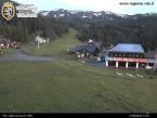
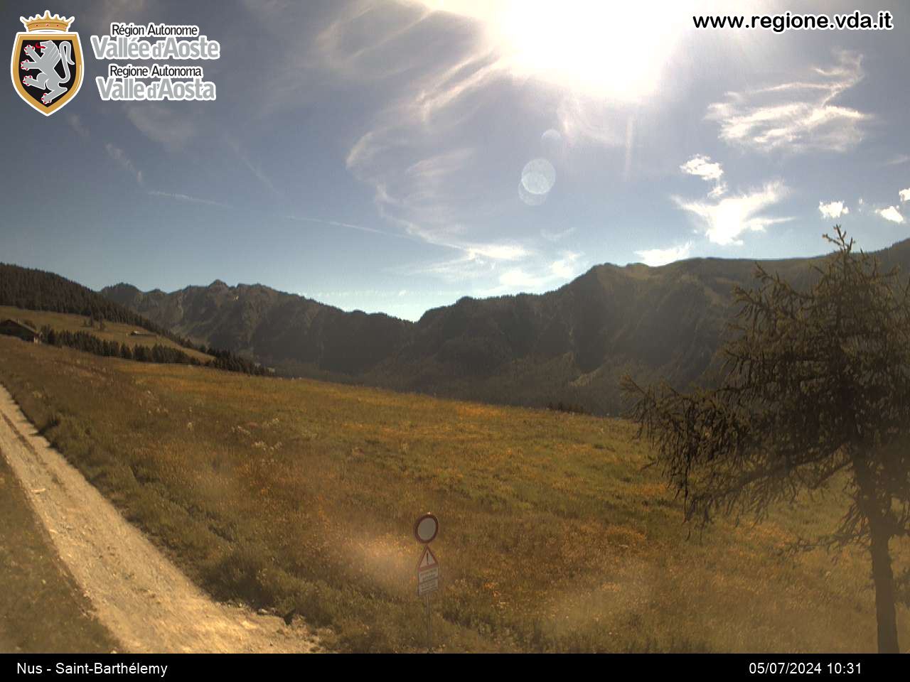
This is a very simple itinerary along the winter cross-country ski slopes. It is particularly suitable for families with children. Excursionists are able to enjoy the splendid views over the pure and unpolluted Saint-Barthélemy valley. You can stop in the beautiful expansive meadows at any point along the route.
Типичные блюда
Technical difficulty: easy
Physical difficulty: medium
Bike-friendly: 100%
Type of route: dirt road
Take the Regional Road that from Nus goes uphill for around 18k until reaching the village of Lignan in Saint-Barthélemy and continue until Parliod on the municipal road for a further 3 km, ending at the picnic area, with ample parking.
Set off from the picnic area in Porliod. After a brief downhill stretch on asphalt, you pass by the village of Porliod that is partly in ruins. Here the farm track leads to the Verney mountain. Alternatively, you can get there by going up the Praz de l’Arp mountain straight after departure and continuing towards the Barbonce mountain after having crossed the Chavalary stream. A brief and easy descent takes you to the wonderful plain of Champ Combre, and after this the slope, now completely level, leads to the bottom of the valley until Prazterrier at the foot of col Fenêtre de Tsan and the Reboulaz Bivouac on the Alta Via no.1.
On reaching the turning point, the return route begins.
Descending briefly, pass in front of the Magià mountain hut at La Servaz and take the flat slope again. After around 1 kilometre you come to a crossroads and continuing to the left you reach the Pierrey pasture and Praz Crou before returning to the Praz village or returning on the itinerary of the outward journey by completing the circular route and glimpsing the peaks towards the south and west such as Tersiva, the testata of the Laures valley, Mount Emilius, the Pila basin and beyond to the Rutor glacier.


