Saint-Jacques - Colle della Bettaforca
Champoluc /Ayas /Antagnod
-
Difficulties:E - Excursionist
-
Best period:
June - September
-
Departure:Saint-Jacques (1700 m)
-
Arrival:Col Bettaforca (2672 m)
-
Difference in level:972 m
-
length:4.809 m
-
Ascent:3h30
-
Trail sign:9
-
GPS tracks:
Description of the route
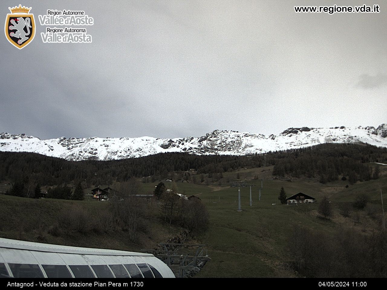
From the square in Saint-Jacques, a hamlet of the municipality of Ayas, go past the church, then continue to the end of the residential area and take route 9 for the hamlet of Resy and for the Ferraro refuge. From here, continue first along the private road to the pasture of Forcaz Superiore, and then on the path, which runs below the ascending chair-lift, up to Col Bettaforca, from where you can enjoy the wonderful view of the valleys of Ayas and Gressoney.


