Cogne - Valnontey
Cogne
-
Schwierigkeitsgrad:T - Touristisch
-
Beste Wanderzeit:
Mai - Oktober
-
Abfahrt:Cogne (1535 m)
-
Ankunft:Valnontey (1662 m)
-
Höhenunterschied:127 m
-
Länge:2963 m
-
Aufstiegszeit:0h53
-
Wegweiser:23
-
GPS-Tracks:
Easy walk in the National Park and visit to the Alpine Botanical Garden « Paradisia » where are cultivated the most rare species of alpine and non-European flora.
The first part until Buthier is suitable with strollers, is accessible to disabled people and by bicycle only at a walking pace.
Routenbeschreibung
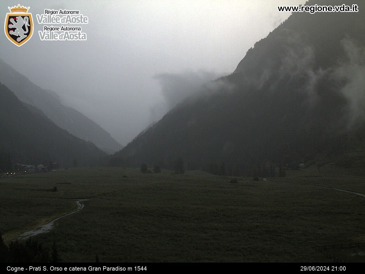
From the centre of Cogne cross meadows of Sant’Orso (awarded « Italian Wonder ») and reach Buthier hamlet near a bar.
From here continue on the left bank of Valnontey stream along the path through woods, meadows and clearings that leads to Valnontey.


