Balcony on Mont Blanc
Courmayeur
-
Difficulties:E - Excursionist
-
Best period:
June - Octobercheck the absence of snow at high altitude
-
Departure:Pont Pelerin (1.500 m)
-
Arrival:Pré-de-Bard-desot (Elena hut) (2069 m)
-
Difference in level:1100 m + 545 m -
-
length:15,8 Km
-
Ascent:5h30
-
Duration coming back:4h50
-
GPS tracks:
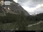
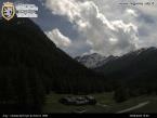
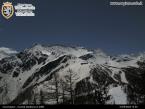
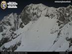
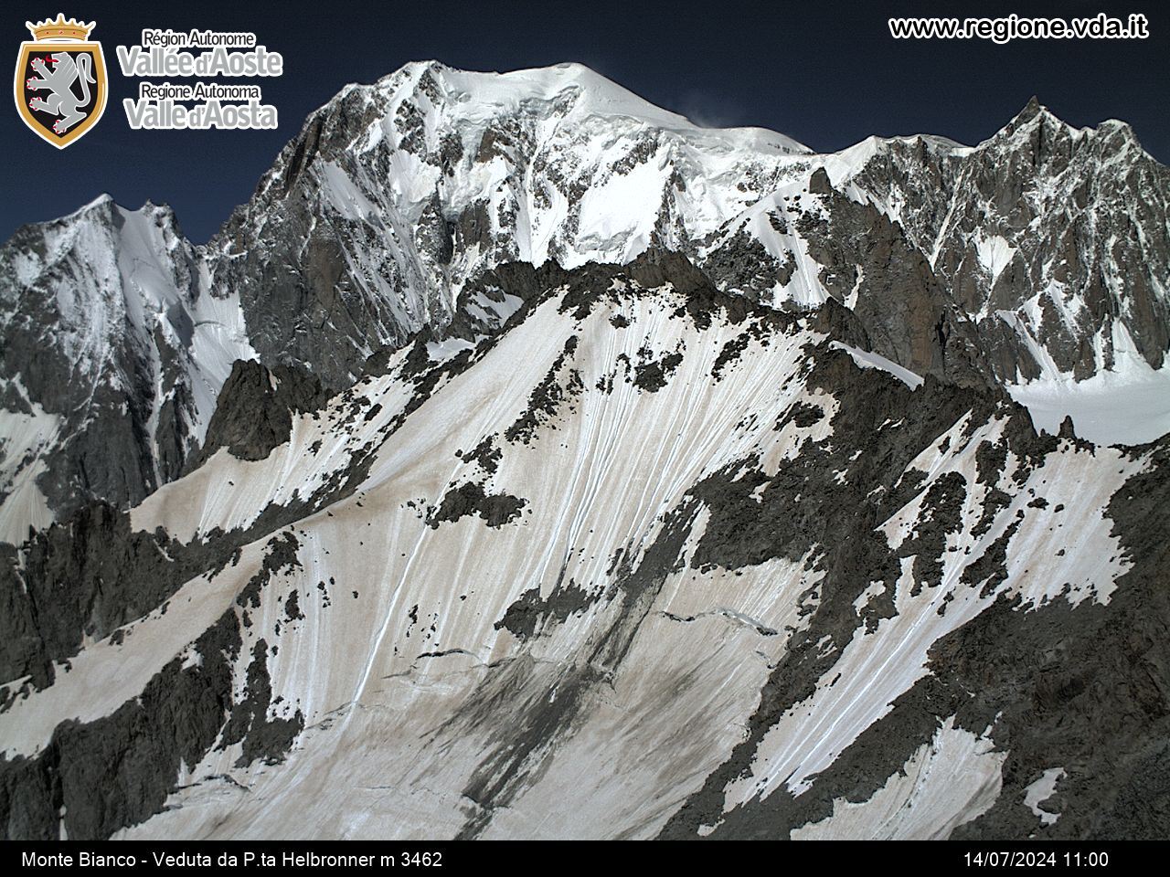
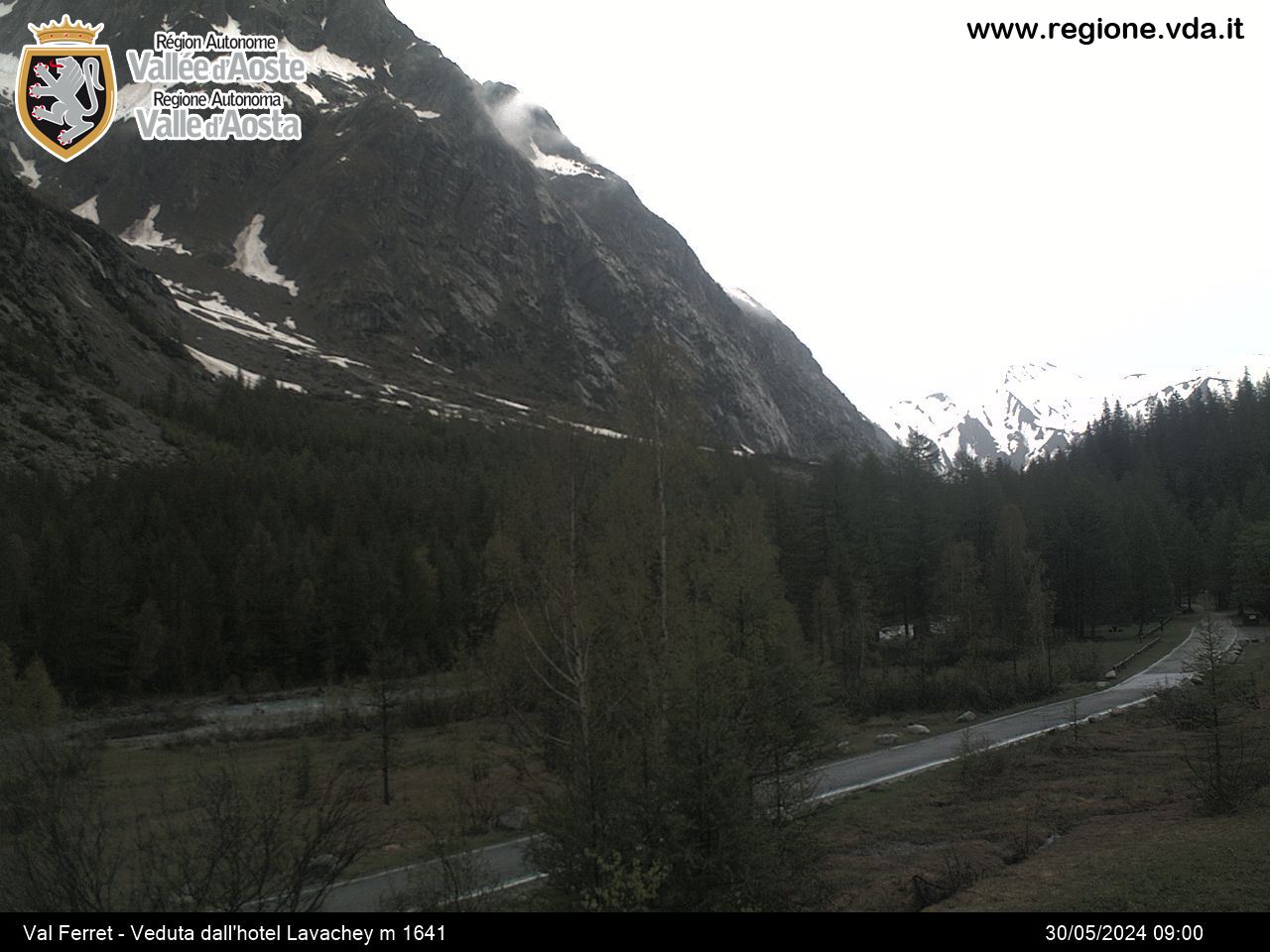
An itinerary of almost 16 km, mostly on the orographic left of Val Ferret, which overlooks spectacular panoramic views.
Description of the route
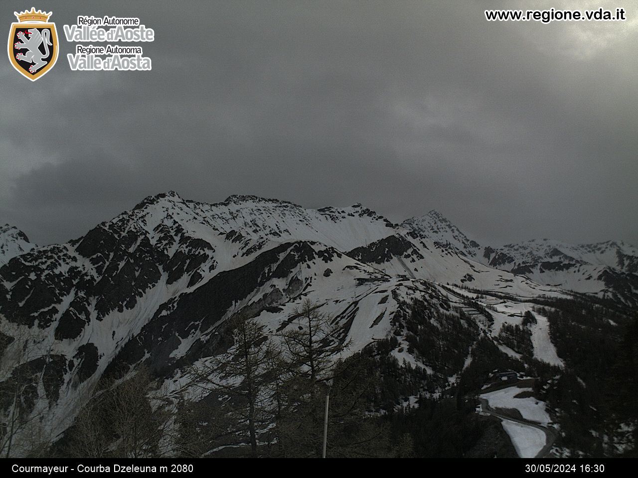
The majority of the trail follows the balcony on the slopes of the Mont-de-la-Saxe, at around an altitude of 2000 m so it is an ideal route for panoramic views.
Follow the trail for the Bertone refuge as far as the mountain chalets in Leuchey Damon. Here you leave the path to the Bertone refuge and take the fairly flat left-hand path until you reach the mountain chalets of Arminaz Desot. On the other side of Arminaz, the path goes downhill slightly: at this point you abandon the main path going down to Lavachey and take a small footpath on your right which goes back up the mountain side and leads you to the mountain chalets of Malatra Desot and the Bonatti refuge. And then from Malatra continue on as far as the chalets in Arp-Nouva di meiten. From here you go down to the bottom of the valley and continue along the un-made road towards the Elena refuge.


