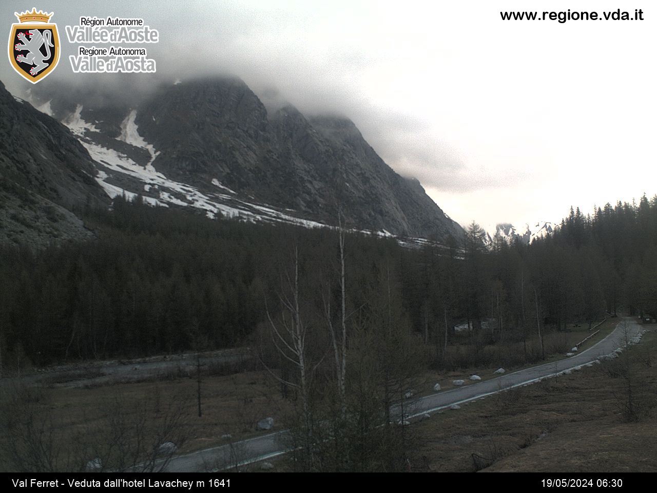
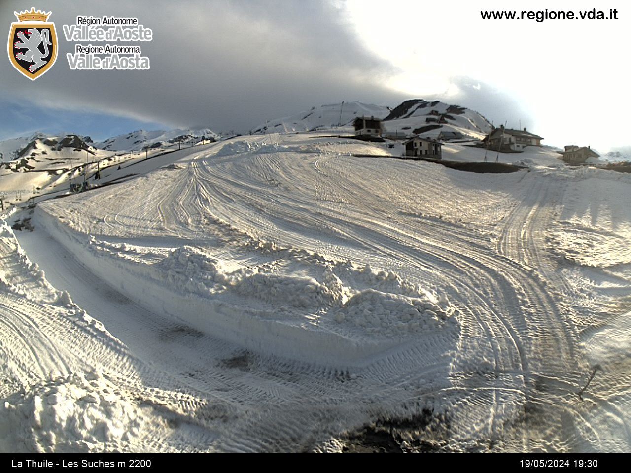
Bella Comba Lakes
La Thuile
-
Уровень трудности:E - Randonnée
-
Лучший период:
Июль - Сентябрь
-
Пункт отправления:La Joux (1613 m)
-
Пункт пребытия::Bella Comba Lakes (2392 m)
-
Расписания:779 m
-
длина:6.169 m
-
Durata Andata:2h45
-
Segnavia:AV2 - 3 - 8
-
Tracciati GPS:
Типичные блюда
From La Joux car park in the municipality of La Thuile near the restaurant, take trail no. 8 and go up. After the crossroad with the itineraries leading to the three waterfalls of the Ruitor, you come to another junction, where you continue on the left of the same trail (no. 8) leaving trail 3 for Deffeyes refuge on the left. After crossing a bridge on the torrent, at a junction take the left section (still no. 8) which goes into Bella Comba valley and leads to the lakes of the same name.


