Artaz - Col Pilaz and Col Pillonet
La Magdeleine
-
Difficulties:E - Excursionist
-
Best period:
June - September
-
Departure:Artaz (1740 m)
-
Arrival:Col Pilonnet (2698 m)
-
Difference in level:964 m
-
length:6.135 m
-
Ascent:3h15
-
Trail sign:3 - 1 - 2
-
GPS tracks:
Description of the route
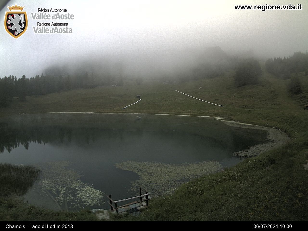
From Artaz, in the municipality of La Magdeleine, take route 3, which cuts across and runs along several sections of the private road to Croux, and leads to the pasture of Layé. Continue along the same itinerary, and after crossing lakes Croux and Grande Puine, you come to Alpe Pilaz and the hill of the same name. At the hill it is possible to have a stop and a pic-nic. Don’t miss a picture on the big bench, the first in Aosta Valley and the n° 125 of the “Big Bench Community Project”. Continue to the right on dirt track 2, until you come to Alpe Champlong and then take the path on the right that goes up, after joining itinerary 5 from Chamois, and soon leads to Col Pillonet.


