Grand Tournalin
Valtournenche
-
Difficulties:EE - Expert Excursionists
-
Best period:
July - September
-
Departure:Cheneil (2102 m)
-
Arrival:Grand Tournalin (3371 m)
-
Difference in level:1.269 m
-
length:5.788 m
-
Ascent:3h55
-
Trail sign:30
-
GPS tracks:
Description of the route
After leaving the car in the car park at Barma, in Valtournenche, you soon reach a dirt track in Cheneil (you can reach the hamlet on foot in about 2.5 hours leaving from Crétaz along Alta Via 1). Take route 30 which first goes into a wood, then continues across meadows and moraines, until it comes to Col de Tournalin.
Take the trail on the left, not signposted, and the trail along the trail along the crest, which is very exposed. You then come to a plate of rock 8 metres long, which you climb with the aid of a rope.
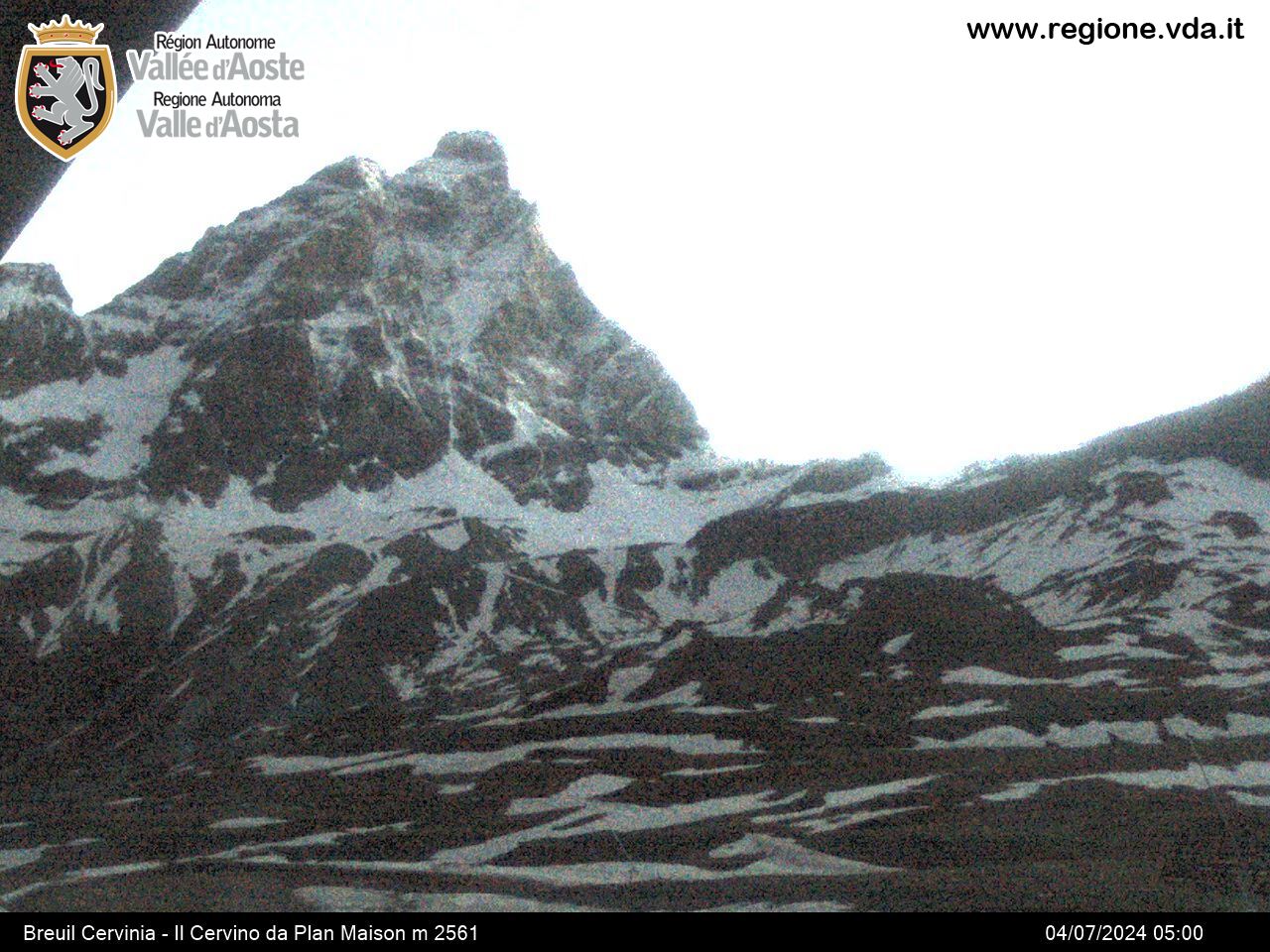
Continue for 50 m until you come to the summit of Grand Tournalin, where you can admire Mount Cervino and Mount Rosa.
On this itinerary, you meet several crossroads with other trails: ignore these trails and keep to route 30,which leads up to Col de Tournalin.


