Valsavarenche Piste
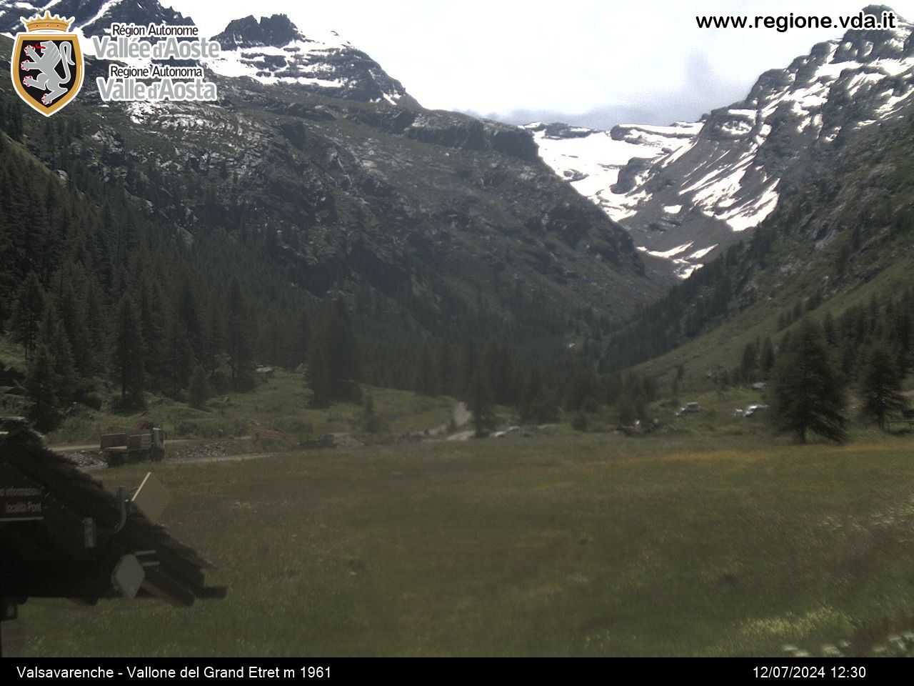
The Valsavarenche cross-country trails, totalling 13 km, run between Dégioz and Pont, the last village in the valley, at an altitude of 2000 metres. The Dégioz runs start out in front of the town hall and the Visitors Centre of the Park and wind their way alongside the torrent, past traditional villages, while in Pont there are 6 km of runs authorised to host competitive races
Dégioz (1540 m)
- Lo Tor di Plan 2 km run - easy
- Lo Tor di Plan 3 km run - medium
- Lo Tor di Plan 4 km run - easy
- Lo Tor di Plan 6.5 km run - medium
- Lo Tor di Plan 7.5 km run - medium
Pont (2000 m)
- 2,6 km loop - easy
- 4,25 km loop - medium
- 5,8 km loop - difficult
Ticket sales: tobacconist’s in Dégioz, the chalet des pisteurs in Pont, townhall according to the opening times.
Consult the snow report to find out which cross-country trails are open.
Contact
-
Telephone:Chalet pisteurs ( 0165.95304) Comune ( 0165.905703)
-
E-mail:
-
Internet:


