Col des Echelles de Chavannes (Colle di Bassa Serra)
La Thuile
-
Difficulties:E - Excursionist
-
Best period:
July - September
-
Departure:Strada Piccolo San Bernardo (1867 m)
-
Arrival:Col des Echelles de Chavannes (2739 m)
-
Difference in level:888 m
-
length:8.934 m
-
Ascent:3h20
-
Trail sign:10
-
GPS tracks:
Description of the route
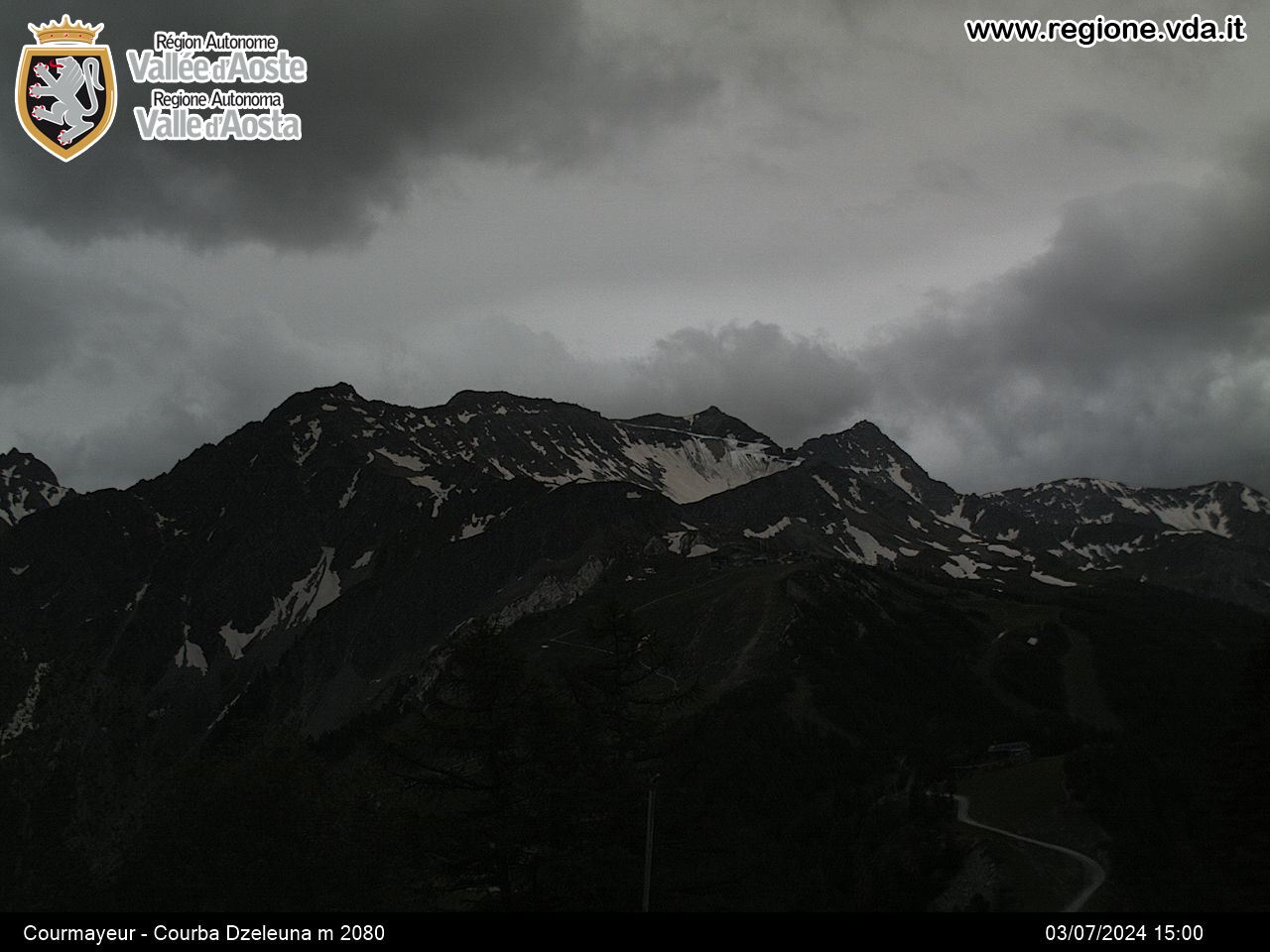
After a few kilometres from Pont-Serrand, in the municipality of La Thuile, go past the restaurant and you come to a left-hand bend. Leave the car and take the private road on foot until you come to the pasture of Plan-Véylé. (2080 m). Now, take route 10, until you come to Alpe Biolettaz (2175 m and Alpe Crotti (2520 m). Continue until you come to Col Bassa Serra.


